
That's Black Peak in the foreground, Debar standing tall behind.
A 1.25 mile ski took me through the campground to the trailhead. It's 3.7 miles from there to the summit, with an over 1600 foot gain in elevation--half of it in the last half mile. More on that later...
The next 1.2 miles of trail where shared with snowmobilers (although I didn't see very many of them), and then it was a left turn deeper into the woods. I kept the skis on for quite awhile further (probably further than I should have) before switching to snowshoes when the trail started to climb a bit more.


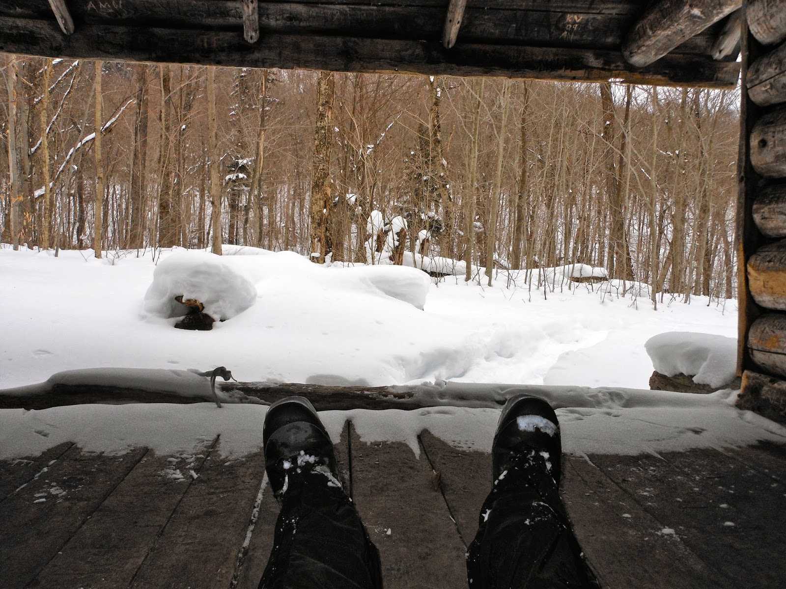
Before the last "big push" (mentioned above), there's an old lean to (some of the graffiti is dated from the mid-1960's) that's pretty rough around the edges, but was a perfect place for a bite and a break.

The lean to would also prove to be my final destination for the day. It was 2:30pm, a storm was forecast to be rolling in, I still had better than 4 miles back to the car without pushing ahead any further...and I'd promised to make dinner tonight.

I'd gotten a much closer look at Debar, but the summit will have to wait for another day.
No comments:
Post a Comment